
NaWiFi in Hajó Magazin, 2015. Part I.
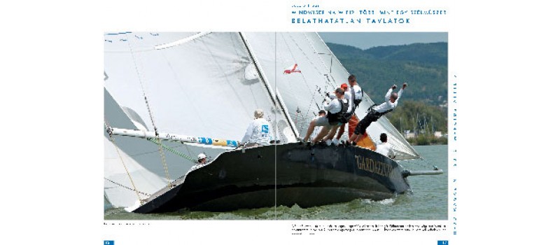
Windwiser NaWiFi, more than a wind instrument: Unforeseeable horizonsPART IRegarding
its installation, this is really easy. Drilling three holes and its done. Two
for fixing the device and a thicker one for the cables. Well, this is already
an exaggeration to talk about cables. In reality two single wires needed that
should be connected to the power source. Make a parallel circuit coming from
the wires that supply your top light and you are done. That simple.Installing
it to the mast head, as in case of all broadcasting devices, is more
complicated. Doing it at the beginning of the yachting season is highly
advisable. You can avoid a mast take out or a climbing chair attraction in this
way. Normally, the installation won’t take longer than 30 minutes.Inside
of its housing sit a high precision wind speed and wind direction measurement
unit and a wifi router. Four devices can be connected to NaWiFi at the same
time regardless of their make and type (e.g. smart phone, tablet, notebook,
etc) and their operating system (iOS, Android). They all should support WiFi
though and host a gps chip. Mobile devices without a gps are not considered
since this peripheria has to provide cruising speed and direction which are,
lest wind speed and direction, are crucial when navigating. The good news is
that our architecture does not require internet- nor gsm connection. No data
traffic, no operating costs.We
can choose from a wide selection of apps for both platforms. Sail Tracker Polar
NMEA Pro (on Android) or iRegatta (on iOS and Android) are bears manufacturer’s
recommendation. Both available in a free format, but these versions only allow
a short, couple of minutes, operation or limited functions, good enough to try
them out. For a basic version one has to pay a nominal, ca. 1000 HUF (5 USD)
fee. But the unlimited, all feature versions cost not more than few thousand
forints (15-20 USD). These apps provide a satisfactory level of functionality.
Compared to common navigation instruments even the basic versions entertains
users with general navigational information with a satisfactory precision. Pro versions
go beyond it, offers more features, occasionally with better graphic, e.g. wind
data displayed both in an analog and digital manner too, etc. And this is not
the end of this road. There are highly sophisticated applications with many
NMEA and AIS features. Certain apps includes digital compass, google map with
our position, or the opportunity to save our daily trip together with our
navigational data for review or analysis. Others can suggest tacking based on
boyes coordinates, boat speed-, position and wind speed- and wind direction.
Boyes coordinates can be gained by taking two photos of the boye from two
different points.True
routing software also exists. Recently, only the simplier ones considered as
affordable. But in the foreseeable future those very pricy, professional
routing software - with polar, sailchart, sailplan, etc. – can be substituted
with an appropriate app. Obviously,
this is service providers dependent. It will first be made available to
everyday people in economically developed, sea-side countries. Because it
already exists today, but there are only a few who can afford it. Maybe for
Lake Balaton in Hungary, in the not too distant future, wind data will be made
available on a subscription base or for free. No doubt, this requires a gsm
connection for realtime data but even today fees are reasonable.
A
true advantage of a NaWiFi2+mobile device+app combo that new developments are
instantly available when someone buys or updates an app.